Why and how you should increase your navigation training.
Long trails, remote campsites, and deep backcountry adventures are all very appealing to most outdoor enthusiast. As truly remote places are fewer and farther between we find ourselves looking for spots to really disappear, and oftentimes these are off the beaten paths of popular parks and other wilderness areas. On the other hand, it’s easy to fall into a false sense of safety in terms of navigation. The presence of GPS capabilities in nearly all of our electronic devices, easy access to files and trip reports over social media and forums, and the temptation to just follow the little arrow on the screen combine to make it very easy to head off into the sunset without really knowing where you are going. It’s important to be prepared for emergencies, and while first aid, recovery, and survival equipment are all great helps, what kind of preparations have you taken to make sure you’re able to find your way, or just get out, if GPS and other electronics fail?
Just as we have access to great navigation technology in the form of apps and standalone devices, it’s also never been easier to acquire high quality maps through similar means. Websites such as SAR Topo, Topo View, and many more can provide maps tailored to the area you want to explore and some even allow customization before printing. A full size atlas is a great resource, and it’s worth keeping one for your regular area in your rig, but these customized maps are too convenient to leave behind. Not only can they help you find your way out, but often times you’ll discover things on a paper map that are left out of the zoomed in view of the GPS.
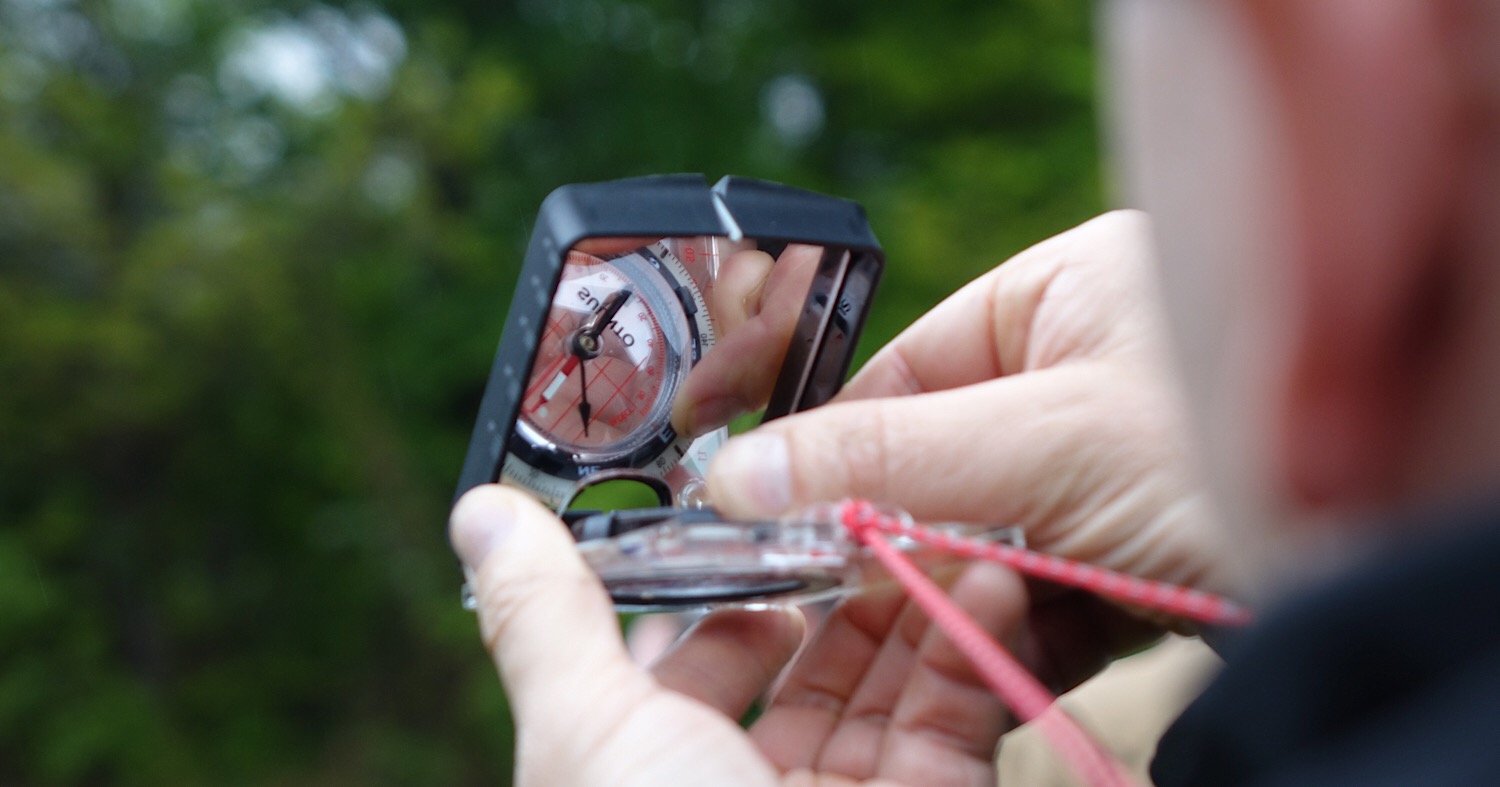
You have your map. Now what? Like a lot of tools a map isn’t very helpful without the knowledge of how to use it. Yes, you can take the self taught route, but navigation is best learned under the tutelage of an expert. So when I found my own map and compass skills barely beyond basic, I decided to seek out training. I’ve already attended another Randall’s Adventure & Training course on another topic and knew that their Land Nav. course would be taught to the highest of standards. While I won’t totally summarize the lessons and exercises, I will give you an idea of what to expect and what you will take away from this high level of training.
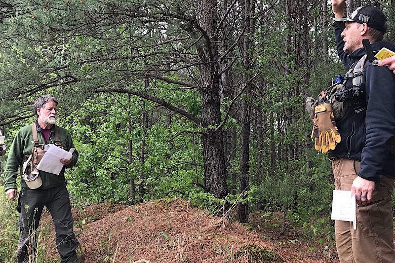
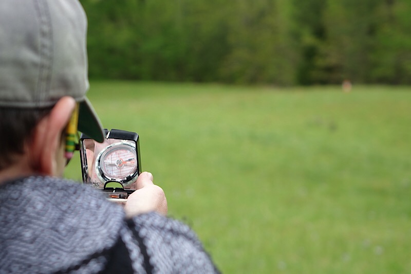
The first morning of the class began with a check of compasses and some explanation of the different types and their capabilities. From there the class dove into a wide variety of navigational styles, the pros and cons of each, and then the application of the skills we were learning. Even though the morning was spent in the classroom each principle was followed by a hands-on exercise. From there we moved outside to practice skills over a larger area, calculate and apply our individual pace counts, box around obstacles in our direction of travel, and utilization of gross navigation methods. While this may seem simple, each topic was thoroughly explained, along with common mistakes, and when that skill would be useful in the field. After an action packed day in and out of the classroom, we all returned to camp and rested up for the final exercise. Even though we were only halfway through the weekend, several groups were already making plans to meet up later in the season for off trail adventures.

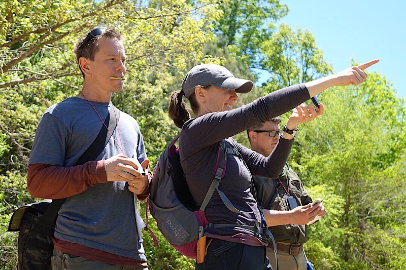
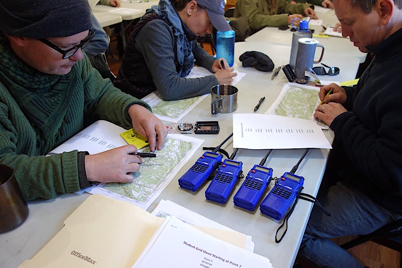
The next morning we met back in the classroom for a few short minutes. There we were given a number of UTM coordinates to plot on our maps. As we broke into small teams we set out to navigate the course that covered open fields, deep valleys, and creek crossings. Many of the points were in thick wooded areas, and a slight error in bearing or pace could make it difficult to find the flag. All of the teams completed the course with relative ease, but not without discovering some areas for improvement, and more importantly honing their skills. The general consensus was that while the course was by no means easy, the first day of training had given us the skills to succeed, and it was up to the teams to apply the knowledge and help each other along the way.
I found myself leaving the R.A.T. facility with a sense of accomplishment. Not just from completing the course, but from learning and applying the wide variety of navigational knowledge the instructors shared with us. I began to think of ways I could apply this knowledge, and the beginnings of off-trail adventures began to formulate. More importantly, I left with a sense that as long as I did my part to keep these skills fresh and well practiced, if the need arises I could decipher my location, and find my way back to where I needed to be without the use of electronic navigation. It’s easy to forget that our vehicles allow us to escape deep into the wilderness rather quickly, and if we’re suddenly faced with traveling back to civilization on foot, and possibly without GPS, we could be in for quite the journey. Find out more about the training opportunities with Randall’s Adventure and Training HERE.
OutdoorX4 Magazine – Promoting responsible vehicle-based adventure travel and outdoors adventure