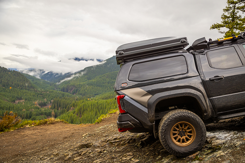
Navigation continues to evolve and onX offers an excellent application for overland and vehicle-based adventure
For the modern adventurer the ways of navigation have evolved far beyond the compass and atlas that were the main tools just a few short years ago. While navigation by map and compass is a great skill set to have just for the sake of education and preparedness, it can often be difficult to find the trails and routes to explore in the first place.
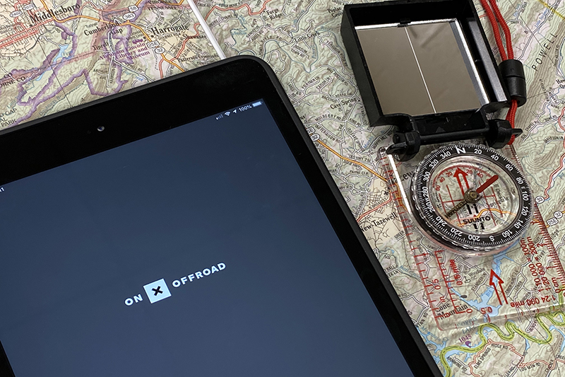
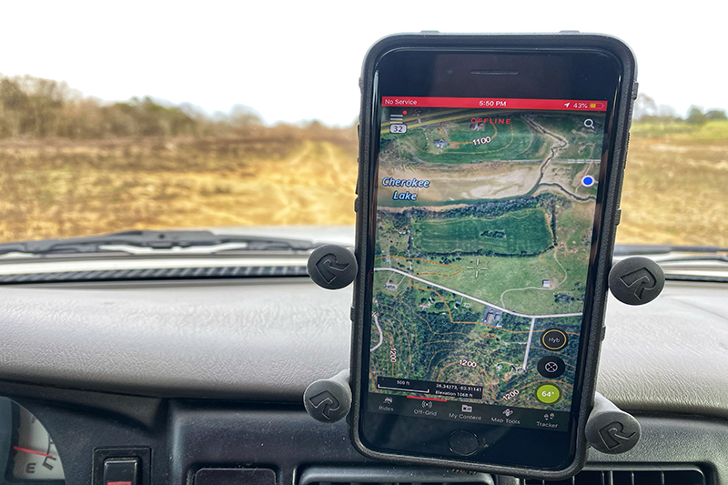
With the rise of the smartphone and its subsequent integration into our daily lives, a number of mobile map applications have staked their claim in the outdoor recreation market. Most have some sort of desktop interface and it seems that, depending on the locale and group, there are favorites among overlanders. In fall 2019 I learned that onX Maps would debut a new off-road focused mobile application. I was familiar with their onX Hunt application and its excellent reputation among backcountry hunters. I was excited to see what they were bringing to the overland community and had the pleasure of meeting with the onX team at Overland Expo East to get a hands-on demo of the new app.
The first notable feature was the ability to not only search trails, but also to refine that search by the type of vehicle you’re using. onX Offroad includes trail width information based on four different filters, from dirt bikes to full-width roads. While the majority of my adventures are in a Tacoma, I have friends who frequently hit the trails in side by sides, so a customized search is a great option. This feature has saved me from exploring some skinny tracks that are deceivingly wide at intersections.
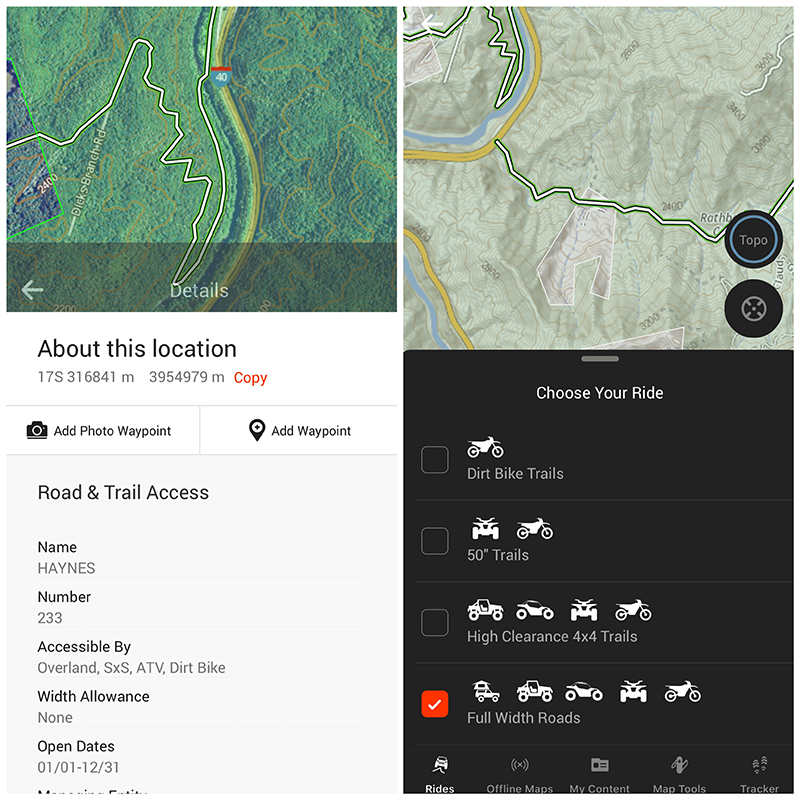
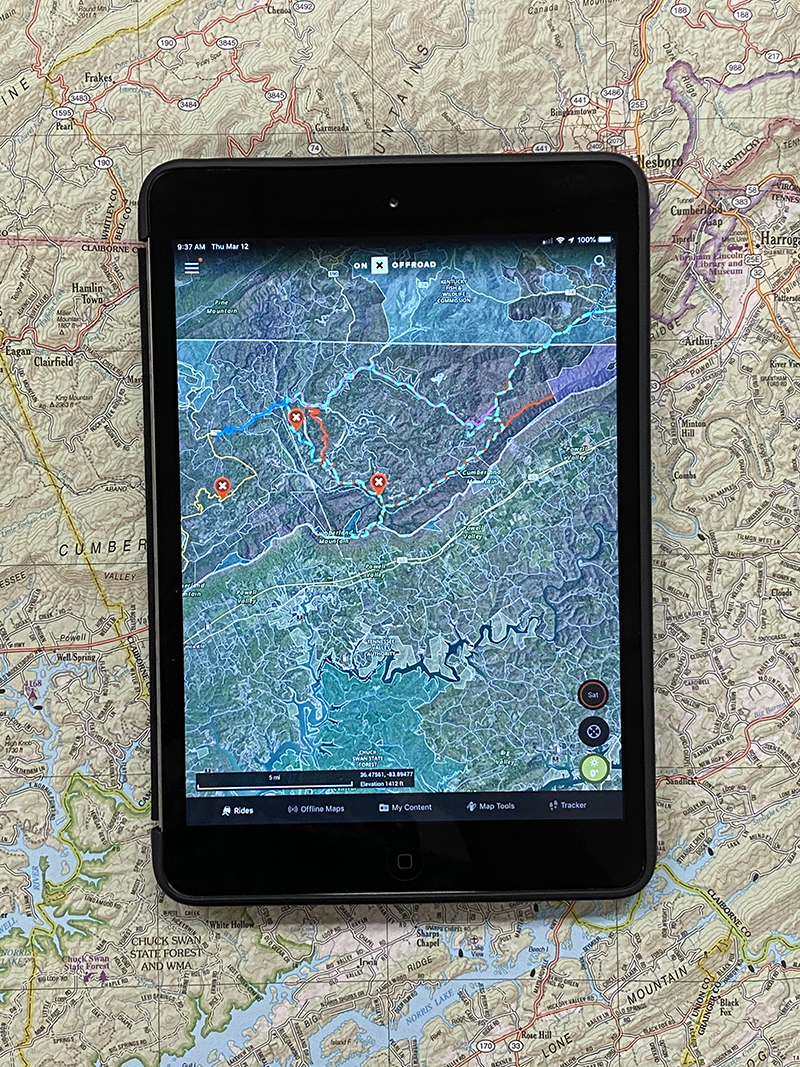
Another feature is the labeling of land ownership and categories. I noticed while out on a local loop that even small parcels of state land surrounding oil wells were clearly labeled. This can be incredibly useful when questions about camping, access, and other legalities pop up while on the trail.
onX includes a unique twist on the offline map options by allowing the user to customize the map resolution that translates to 5-, 10-, and 150-mile wide downloads. On a long trip this customization allows the rationing of device memory depending on the required level of detail.
Overall, onX Offroad is off to a great start. Building an app that includes this much GPS information over the entire country is no small task. The user interface is intuitive and the previously discussed features, customizable on-screen weather info, multiple map layer options, and ability to filter personalized content by what is visible on screen set onX Offroad apart from the competition.
Editor Note: While onX Offroad is already an excellent application, some upcoming features promise to expand its utility. These include the ability to build routes using the desktop site and export them to mobile, importing track files, and of course the inclusion of new trails in future updates. I have no doubts that 2020 will bring even more features and refinement to the application.
Find more information at https://www.onXmaps.com/offroad-app and on Google Play and Apple App Store. Pricing starts at $29.99.
OutdoorX4 Magazine – Promoting responsible vehicle-based adventure travel and outdoors adventure