Exploring the American Southwest by Jeep
Along with the many world-famous tourist destinations that are on many people’s bucket lists, Southern Utah is home to some phenomenal hidden gems. The endless possibilities for adventure in these unreal locations are what makes this place so compelling to people from far and wide.
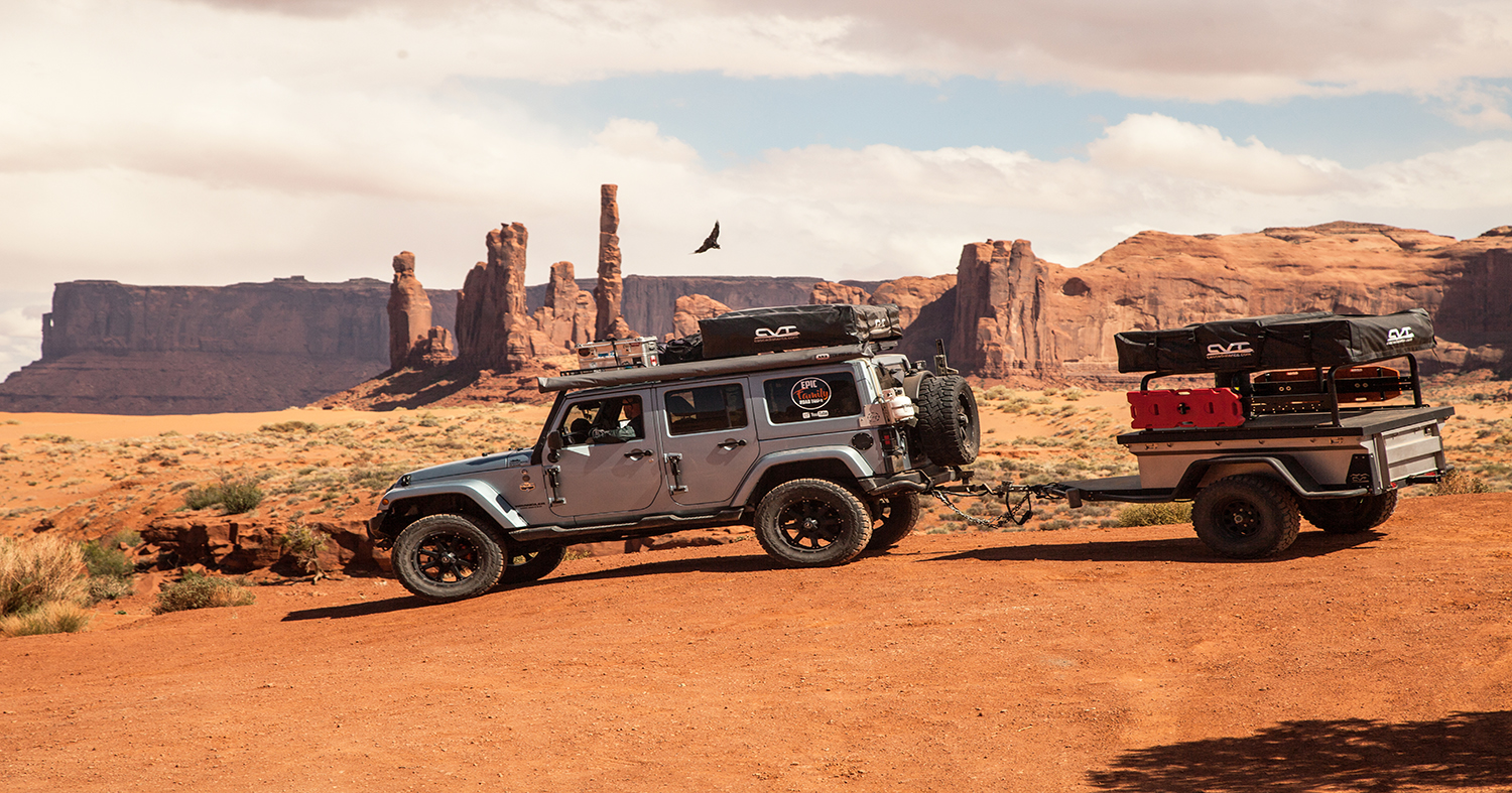
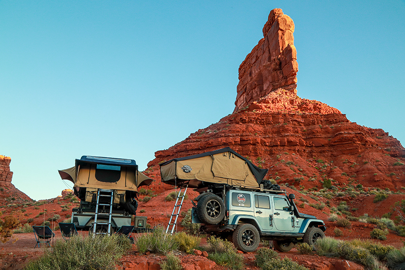
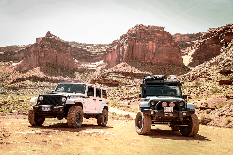
This year, on our way to Overland Expo West in Flagstaff, Arizona, my family and I had the opportunity to spend almost 3 months living completely out of our Jeep Wrangler, CVT adventure trailer and two CVT rooftop tents exploring this epic part of America’s southwest.
We had visited parts of southern Utah before and enjoyed many of the popular tourist destinations in our Winnebago motorhome with the Jeep in tow, but this time we sought out a wilder, more raw camping experience. We wanted to get off the beaten path and experience places we had never been to before. We also wanted to revisit some of the amazing places we had visited in the past, but this time with only our overlanding rig.
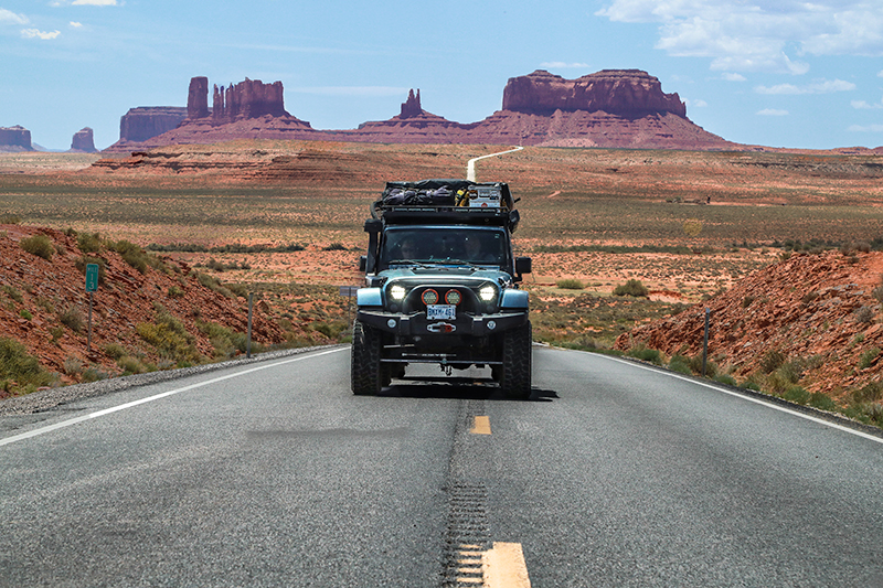
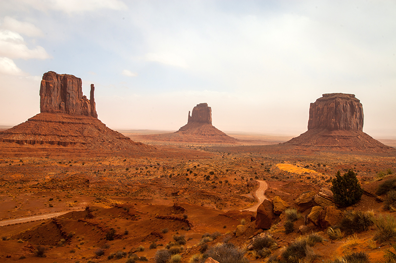
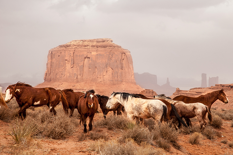
One of these places is dubbed the quintessential “American West” with one of the world’s most recognizable vistas. With an iconic skyline of towering sandstone buttes and red ochre earth, this place is known as Oljato-Monument Valley Navajo Tribal Park. The panoramic vista of Monument Valley is displayed in a mesmerizing monochrome of rusty red tinted mesas and monoliths. This parched, burnt crimson land is spotted with green juniper trees, and the blue hue of the majestic 12,000 ft snow-capped La Sal mountain range rises in the distance.
Owned and operated by the Navajo Nation, Monument Valley Tribal Park receives around 250,000 sightseers a year. The most popular attraction in the park is the 17-mile loop road called The Valley Drive. This road begins and ends at the Monument Valley Visitors Center. Admission fees are $10 per person, but all children 9 years and under are free. We camped the night before the drive in Goulding, Utah about 25 minutes from the Monument Valley visitors center. The entrance into Monument Valley dips into Arizona just across the State line with Utah.
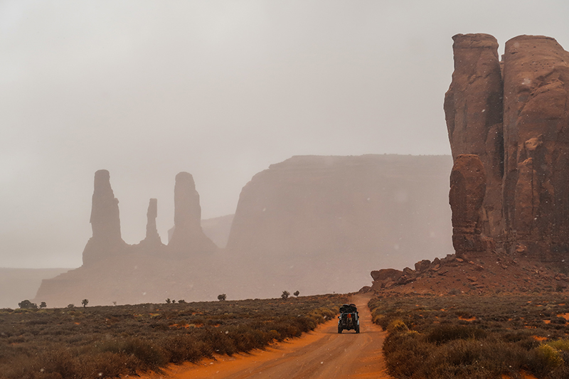
This would be our second time driving through the park as we had visited for the first time in the winter of 2016. It was a totally different experience then because we were practically alone for the entire drive and the winter weather gave a unique perspective of the landscapes. Strong wind gusts were moving across the vast plateaus and would create dust clouds that would momentarily engulf our Jeep in red sand. The silence that filled the crisp air was delicate as white snowflakes fell on the still desert floor were enchanting.
Coming back to this magical place in the late spring meant it was hotter, drier, and much busier. As we began the 17-mile drive the second time around, we were captivated all over again by those magnificent sandstone monuments standing against a deep blue spring sky. One of my favorite parts about this drive is that it makes you feel so small compared to both the soaring rock walls towering above you and the wide-open desert all around you.
Monument Valley is known as one of the most photographed places in the world, so you can be sure to find some epic photo opportunities everywhere you look. John Ford’s Point is probably the most iconic spot for photos as the view displays the most prominent buttes in the park. A cool attraction here is to ride a horse out onto a promontory at the edge of a plateau overlooking that incredible desert view.
Sunset in Monument Valley is another truly spectacular sight to see. As the sun dips below the horizon, the sky is filled with golden light and the monuments are painted in a crimson ombre of vibrant shades of vermillion and fuchsia.
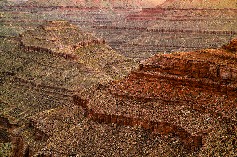
After an incredible visit, it was time to pack up and head 50 miles north to another one of our favorite spots: Goosenecks State Park. This park is a hidden gem and because of the out-of-the-way location, it has been spared much of the tourist traffic. The aptly named “Goosenecks” is a spectacular double meander carved out by the San Juan River flowing 1,000 ft below. Entrance fees are only $5 per vehicle for day use and $10 per night for camping. The campsites are dispersed along the edge of the canyon, and you choose where you want to set up your rig or tent.
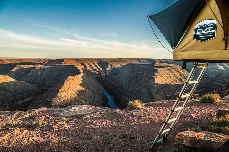
We set up the rig 20 feet from the 1,000 ft cliff and spent several days camped there. The incredible view often left us in disbelief at what we were looking at. The first evening in camp we cooked a dinner of short ribs over the fire. After an amazing dinner as the sun began to set, we hiked down to a breathtaking viewpoint where we could see both meanders. When we returned to camp we sat around our campfire under a cathedral of stars before heading off to sleep in our tents. We were lulled to sleep by the sound of crickets, the San Juan River flowing below and coyotes howling in the distance.
I woke the next morning at the first light of day. It was a strange feeling to sit up and see our entire tent door filled with a spectacular, dizzying view of the great canyon below.
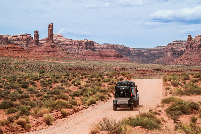
After our time in Goosenecks, we headed 35 minutes north to the Valley of the Gods. Valley of the Gods is known for its 17-mile scenic drive taking you through the valley. Admission and camping in the valley are free and are on BLM land. Valley of The Gods can be driven in either direction. One entrance is off Highway 163, 15 miles west of Bluff and 7 miles east of Mexican Hat, and the other entrance is off Highway 261, 10 miles northeast of Mexican Hat. A 4×4 vehicle is not required for this drive and it is accessible by any RV, car or campervan. But wet weather can cause the road to becoming impassable even for 4×4 vehicles.
We planned to camp for a while in the Valley of the Gods so we drove until we found a spot we liked. The drive to camp was stunning and a lot of fun. We ended up camping next to Castle Butte surrounded by vibrant wildflowers, red sandstone monoliths, and fascinating mushroom rock formations. Valley of the Gods is an off-the-beaten-path location so it is not crowded. We camped there for a little over a week and enjoyed the peace and quiet all alone in the desert with only nature and the birds. On our last evening in camp, we made plans to head to Moab the next morning.
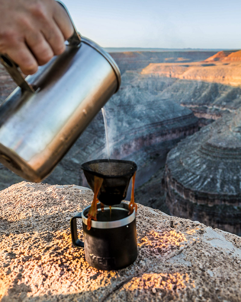
Sunrise draped a veil of golden light over the valley and filled the purple shadows beneath the buttes with the warmth of a new day in the desert. The tranquility of the dawn with the birds singing shrilly as we ground and boiled our ritual morning brew was eventually interrupted. Towering rain clouds and rumbling thunderclaps echoing through the valley in the distance prompted us to begin packing up camp to move on. The fresh smell of rain filled the air as the spring storm rode in on wind gusts that picked up the delicate sand from the valley floor. These whirlwinds created dust devils that silently danced across the barren plateaus as we left the valley. With so many amazing things to see in the area, it was hard to leave, but because of the bad weather, we decided to keep heading north to Moab.
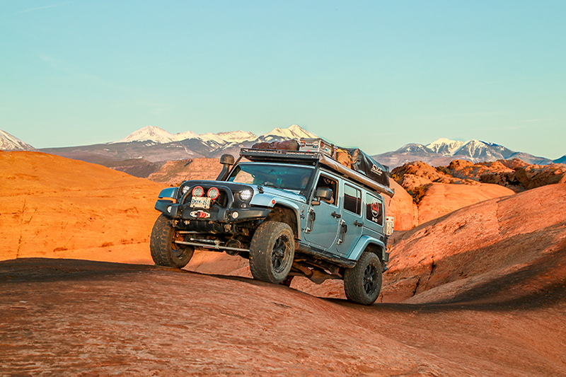
Moab is just one of those places we keep coming back to. It is the ultimate playground for hikers, mountain bikers, rock climbers, off-roaders, and rock crawlers. We returned to our favorite camp spot next to the Slick Rock Trail where we spent a few days in mountain biking heaven. Though we had been to Moab a few times before and loved to visit the nearby Canyonlands National Park, we had never done the famed Shafer Trail.
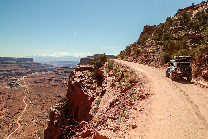
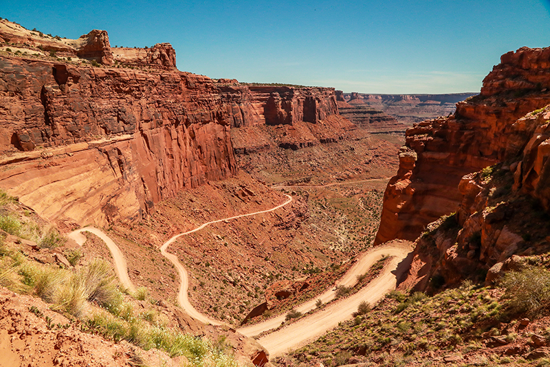
The Shafer Trail is a 19.2-mile point-to-point trail. It is not for novice drivers or the faint of heart. It is a good trail for people who like to get off-road but don’t have a highly modified rock crawling vehicle. This trail is dangerous, especially in bad weather and at night.
In Moab, we met a YouTube subscriber and his wife from Montana that we had become friends with online. We then met up at the Canyonlands Visitors Center and decided to tackle the Shafer Trail together. For being a non-technical trail, it is one of the scariest we have done. This is thanks to the narrow one-way sections of trail and hairpin switchbacks along sheer cliffs that plummet 1,000 ft to the canyon floor. Besides that, it is an exhilarating experience and the views are outstanding. As we got lower into Shafer Canyon the trail eventually straightened out and the drivers could breathe again.
Once we were off the switchbacks it was crazy to look up at where we started. The rest of the drive provided some amazing views and fun sections through dried riverbeds and along canyon edges. Beautiful, well-marked petroglyphs are visible on the cliffs along the road at the end of the trail. Having tacos in Moab after that adrenaline-pumping experience made for another unforgettable day in Utah.
Southern Utah leaves a mark on you that stays with you forever. Whenever people ask us our favorite place to travel in our Jeep, it’s always Utah. There is still so much we want to see and do in this incredible part of the U.S which just gives us more reasons to keep coming back.
- Editor’s Note: You can follow the adventures of Caroline and her family via their YouTube channel Epic Family Road Trip as well as via social media at @epicfamilyroadtrip. We also have a story about a motorcycle adventure through Valley of the Gods, along the Moki Dugway, in the upcoming release of Issue 33 of OutdoorX4.
OutdoorX4 Magazine – Promoting responsible vehicle-based adventure travel and outdoors adventure


