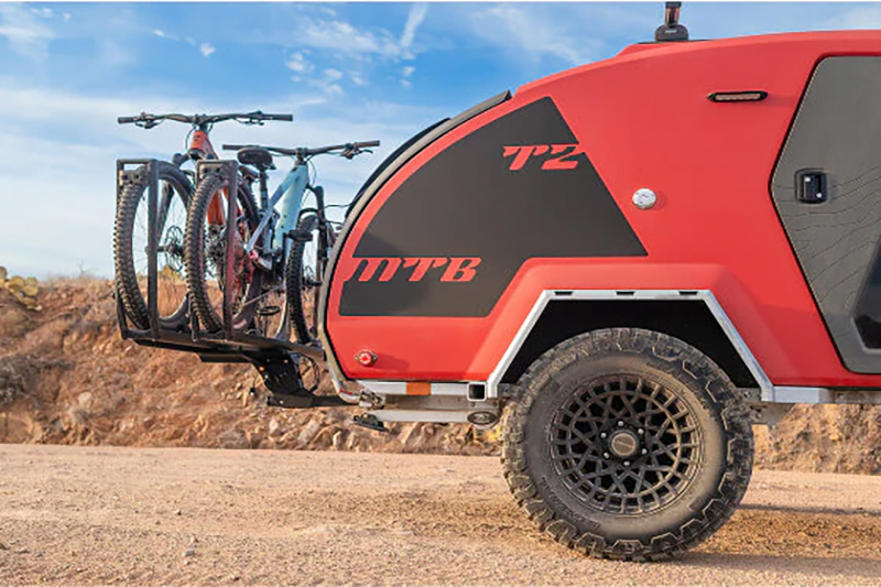
Sequoia National Park features a myriad of opportunities to explore
You might be amazed at what you can find in your own backyard. Take a look at a 300-mile radius around your home on a map and get out there on a Friday for a quick overland adventure. My backyard happens to include Sequoia National Park (SNP). About four hours from my home in San Francisco, it has a wide variety of terrain and offers an epic High Sierra experience.
Our Destination
Sequoia National Park is the second national park, established in 1890 by President Benjamin Harrison. One week later, it was expanded with the creation of General Grant National Park. SNP was the first national park established to protect a living organism, the giant sequoia tree. Between 1891 and 1913, U.S. Army Calvary troops were deployed from the San Francisco Presidio to physically protect the park from logging. Three years later, the National Park Service was founded.
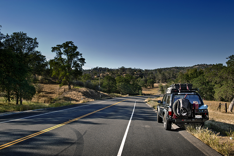
© Credit Barry J Holmes ©
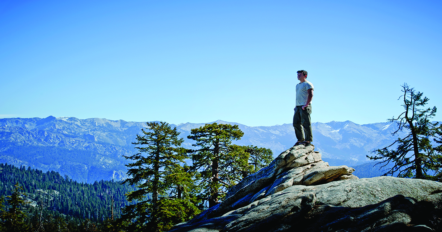
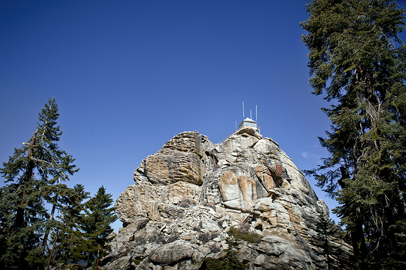
Buck Rock Lookout is perched over the Buck Rock Jeep Trail. It is an active Forest Service lookout built in 1924, perched atop a granite dome, at 8,500 feet above sea level. This lookout is one of only three 4-A style live-in cabins in the world. During the open season, a ranger is glad to answer your questions.
On this adventure to SNP, I had two great friends joining me, Brandon and Barry (Bazz). Bazz is a respected photographer, and I was lucky enough to have him along to photograph the adventure. The pictures you see are his. Since I had been there before, I expected no issues on the journey.
Plan Ahead and Know Your Course!
In my articles and videos I try to “keep it real” and show the good with the bad. It’s called life, and well, that’s how we all learn!
Pro Tip: Here is how you turn a four-hour drive into a 9 and a half hour fiasco!
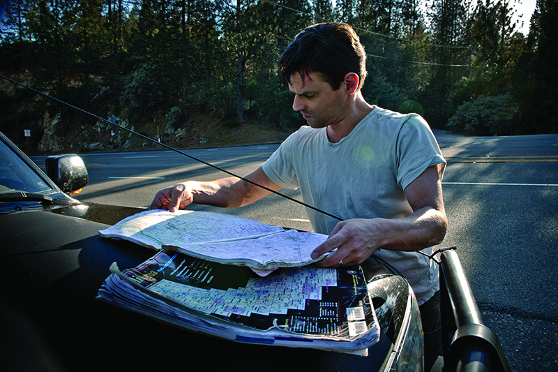
Normally I have Ms. Overland Bound (Corrie, a.k.a. The Wife) with me, and she is my navigator. I don’t think too much about it. She is just always there, telling me the best route and making sure we stay on the best course. Chalk it up to a busy week, thoughts of the upcoming Overland Expo, or getting my air solution nailed. I was distracted. Somewhere along the way, I went into auto-pilot. I had recently traveled to Shaver Lake, California and had set my Waze app to that destination. Bazz and Brandon had never travelled in the area, and didn’t know to call me crazy!
© Credit Barry J Holmes ©
Lesson 1: Map out your destination before you leave!
We were halfway up the grade toward Shaver Lake and 60 miles off course before I realized my mistake. We could have headed to Strawberry Lake, or any one of a number of great destinations, but that was not our goal, “No way man! Let’s turn this rig around,” and we set Waze to SNP!
It was getting dark as we followed the little purple line in our Waze app, and listened to the occasional digital voice. It was Elvis. Thanks Bazz. Elvis referred to us as “baby” as he warned us of upcoming hazards. It was dark as we approached the SNP entrance and I began getting that sinking feeling in my stomach.
A mile before arriving at the SNP entrance I knew we had come to the wrong park entrance. “You have arrived at your destination.” No, we had not.
© Credit Barry J Holmes ©
Lesson 2: Don’t depend on Waze to get you there
Elvis had led us to the south SNP entrance, and the young park ranger in the booth went from happy greetings to concern as she told us, “Oh no, you are about 2 and a half hours from there.” I had two of the best traveling companions of all time. They had just earned an achievement award for perseverance. “Awesome! How do we get there?” We FINALLY pulled out our paper map.
The next two hours led us on a road I am sure is second only to Lombard Street in San Francisco for curves.
Sequoia National Park Access
There are many ways to access SNP. For me, the best adventure can be had by navigating to the Kings Canyon entrance east of Fresno. Don’t blindly put Waze in charge! Take Highway 180 out of Fresno and head to the mountains.
At the CORRECT entrance, Kings Canyon and SNP are adjacent to each other. Kings Canyon is north and SNP is south. Go about ¼ mile past the entrance and you will see a sign for “Generals Highway – Sequoia National Park” to the right. I highly recommend stopping by a ranger station and getting a land use map for the area. It will be almost essential to locating the correct forest service roads.
Ahem. Hypothetically, you could find yourself traveling all day and all night, only to arrive at your destination to find a locked Forest Service gate. And, hypothetically, you might have to get mighty creative to find a way into SNP and the Buck Rock Trail area if, hypothetically, the area was closed because you hadn’t checked the dates of the open season.
© Credit Barry J Holmes ©
Lesson 3: Call ahead and ask the “open” status of the area. Just sayin’.
The trail you want for this specific adventure is Forest Service Road 14S30. Follow signs to the Big Meadows area, which is well marked, then take 14S30 left, well before you get there. We plowed through the darkness at a sensible speed and climbed about two miles to our base camp. We unloaded, built a fire, and laughed until the late hours, marveling over the brightness of the stars and the silence so complete it made our ears ring.
Buck Rock Lookout and the Buck Rock Trail
We awoke to the sunrise and the sound of hundreds of birds. To get on the trail fast, we kept our morning meal to coffee, fruit and cold cereal! We put our food in the shade and headed out!
An appropriate exclamation upon seeing the lookout is, “Hooool-y shit.” Perched high above California, the lookout provides an eagle’s view of the surrounding mountains.
© Credit Barry J Holmes ©
We kept our lookout visit relatively short since we needed to hit the Buck Rock Trail. The earlier part of the trail is moderate, enjoyable by most. The end of the trail is technical for overlanders with a winch and lockers.
The trail is also known as Forest Service Road 14S47. One hundred yards into the trail you experience the grandeur and glory of the High Sierras. The trail is well maintained and a mix between rolling dirt roads, giant rock faces, sequoias, and steep grades. We took our time on the trail, stopping for photos and sightseeing. It is breathtaking.
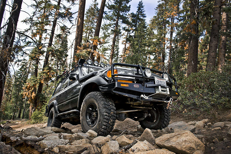
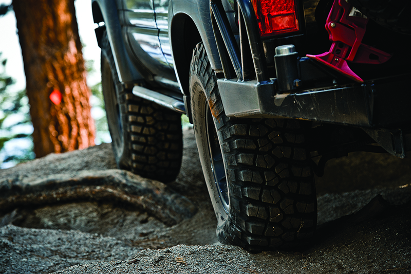
The first of two real challenges on the trail is a steep undulating grade of loose dirt. I had run the trail previously with the differentials fully locked and wanted to try this stretch in 4-low. In the end, without being locked, I relied on speed to get us up the hill. Lockers allowed a more measured, slow ascent with no slipping.
The second challenge is a steep, 100-yard stretch of rolling boulders, soft dirt and driveshaft-crunching obstacles. Bazz and Brandon captured images of the climb as I took my time up the grade. Always take it slow. I eased the rig over the rocks inch by inch. I was fully locked. Previously, I required a winch to make the trail. This time, I managed to do it without a winch, making some counter-intuitive choices to keep my BFGs on the rocks with good traction. The day was a success, and it was time to head to camp.
Meals and Fun!
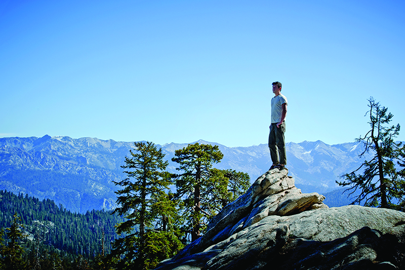
We rolled in as the sun went down and prepared an epic meal. Our steaks and spuds were cooked over the fire in a bed of hot coals. We ate too much and agreed it was the best thing we had ever had. SNP offers a diverse natural environment to push your boundaries, and connect with yourself. Brandon said, “I just had an epiphany.” He never said what. After a weekend of adventure in SNP, epiphanies come more often than not. That is the whole point of overlanding, and the outcome of good adventure.
© Credit Barry J Holmes ©
Tip: What to Bring
Sequoia National Park and the Buck Rock Jeep Trail allow you to choose how technical you want to be. Aside from normal camping gear, for this adventure without Buck Rock Jeep Trail, I recommend the following essentials:
- Forest Service land use map (available at local ranger stations)
- A capable 4WD or stock vehicle
- Two gallons of water per person per day
- Mountain money (toilet paper)
- Clothing layers – temperatures vary greatly particularly if you intend to travel on the Buck Rock Trail and the challenging Buck Rock Ridge
- Raised 4WD, 2.5” minimum
- Sliders
- 33” Tires
- Winch
- Lockers
- Armor
Editor Note: Visit the Overland Bound online forum at www.overlandbound.com to meet fellow vehicle-based enthusiasts along with additional tips and suggestions on gear and places to visit for overland adventure.
OutdoorX4 Magazine – Promoting responsible vehicle-based adventure travel and outdoors adventure


